City of Niš
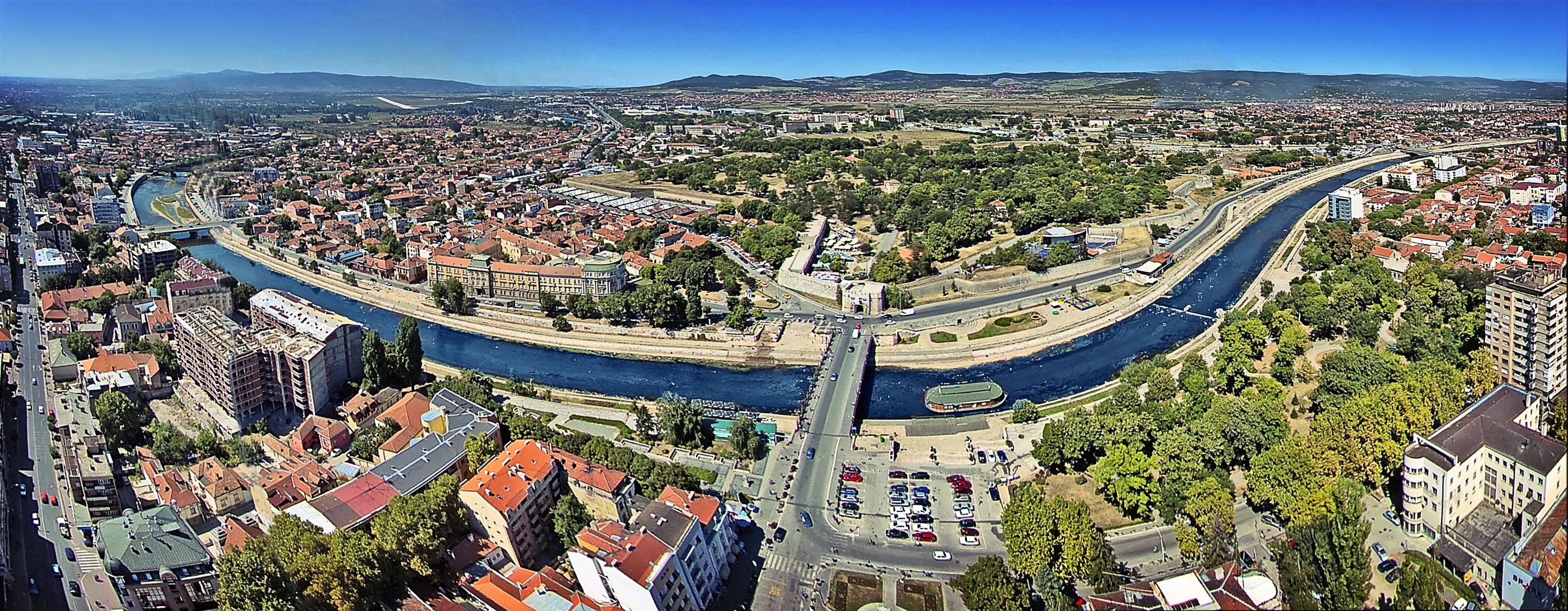
The city of Nis and surrounding area
Geographically, Nis is on the crossroads of the most important Balkan and European routes. The highway which goes from north, through the valley of the Morava river from the direction of Belgrade, separates to two ways in Nis; one to south, through the valley of the Vardar river to Thessaloniki and Athens, and another to east, through the valley of the Nisava river and the Marica river to Sofia, Istanbul, and to Middle-East.
The roads to northwest (to Zajecar, Kladovo i Temisvar) and to southwest (to Adriatic Sea) also separate in Nis.
All these roads were well-known even in old times, as the roads of people, goods, and military. They were called ‘Via Militaris’ in the period of Rome and Byzantium, ‘Tsarigradski drum’ in the medieval period and in the period of Turkish rule. Today, these are the main highways on Balkan, which make Nis the crossroads of Europe with Asia Minor and the Black Sea area to Mediterranean.
Nis is today the second biggest city in Serbia, and the university center with 14 faculties and 25.000 students.
The area of Nis has many terrains for adrenalin, cultural – historical and recreative tourism, and the ones that we pick are the following:
- Niska Banja (Spa)
- Kamenicki vis
- Sicevacka klisura (canyon)
- Jelasnicka klisura (canyon)
- Suva planina (mountain)
- Bojanine vode (waterfalls)
- Banja Topilo (spa)
- Cerjanska pecina (cave)
- Wine cellar in Malča
- Park of Friendship